Choose a calm-weather coastal window and check tide and marine forecasts. Avoid cyclone warnings and rough crossings.
GHOORISM
আপনার ভ্রমণ আসছে… · Your journey is loading…

GHOORISM
আপনার ভ্রমণ আসছে… · Your journey is loading…

Best season in this guide: Choose a calm-weather coastal window and check tide and marine forecasts. Avoid cyclone warnings and rough crossings.
Loading forecast…
Model forecast, not a live observation or official safety alert. Daily ranges use the available forecast hours.
MET Norway · CC BY 4.0 · Summarised by GhoorismYOUR TRIP, MADE SIMPLE
Choose a calm-weather coastal window and check tide and marine forecasts. Avoid cyclone warnings and rough crossings.
Choose your departure location, group size and duration below to see a planning range.
Planning suggestion: allow a full day including transfers; remote routes may need an overnight plan.
Remote walks or boat crossings may not suit small children, older travellers or limited mobility. Confirm safe access, toilets, overnight arrangements and a return contingency before committing.
DESTINATION TRIP ESTIMATE
Planning range for ordinary bus travel, simple accommodation and meals. Not a live fare or a booking offer.
Return travel is included. Transport uses district and destination coordinates with a broad road-distance allowance; actual roads, ferries and fares can differ.
1 room(s), two sharing, for 1 night(s); local vehicle costs are shared in groups of up to four.
Private boat trips may cost more for a small group. Flights, luxury stays, shopping and peak-season surcharges are excluded. Allowances are planning assumptions rather than verified supplier prices.
MAKE IT YOUR OWN
A flexible starting outline. Confirm travel times, access and return schedules before finalising.
Guide last checked: 2026-10-08
0 / 6 ready · progress stays in this browser
GET TO KNOW THE PLACE
Dublar Char is a remote coastal landscape within the Sundarbans region, associated with seasonal fishing and fish drying. A visit needs forest-permission and marine-weather planning; it is not a spontaneous beach day from Bagerhat town.
Choose a calm-weather coastal window and check tide and marine forecasts. Avoid cyclone warnings and rough crossings.
Carry drinking water, take rubbish back and respect local residents. Confirm visitor rules before travelling. Stay out of deep or fast water; for any crossing require life jackets, safe boarding and a weather check. Sources reviewed 8 October 2026; no on-site inspection or current fare is asserted.
Planning suggestion: allow a full day including transfers; remote routes may need an overnight plan.
Remote walks or boat crossings may not suit small children, older travellers or limited mobility. Confirm safe access, toilets, overnight arrangements and a return contingency before committing.
Checked: 2026-10-08
Transport, opening times, permissions and conditions change. Confirm locally before travelling. Photography credits and licenses are linked above.
A CLOSER LOOK
1 videos found
YOUR DESTINATION, IN ONE PLACE
Loading details…
Bagerhat · Khulna
Dublar Char is a remote coastal landscape within the Sundarbans region, associated with seasonal fishing and fish drying. A visit needs forest-permission and marine-weather planning; it is not a spontaneous beach day from Bagerhat town.
Get directions in Google Maps ↗Choose your starting point in Google Maps.
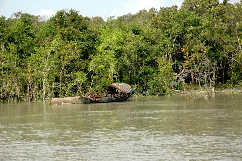 ForestBagerhat · Khulna
The largest contiguous mangrove forest on earth, crisscrossed by complex tidal waterways, mudflats, and sanctuary islands like Kotka, Kochikhali, and Hiron Point.
 CoastPatuakhali · Barishal
Kuakata is an 18-kilometer panoramic beach at the southernmost tip of Bangladesh. Famous for Gangamati mangrove forest, Rakhine villages, Buddhist temples, and the ancient wells.
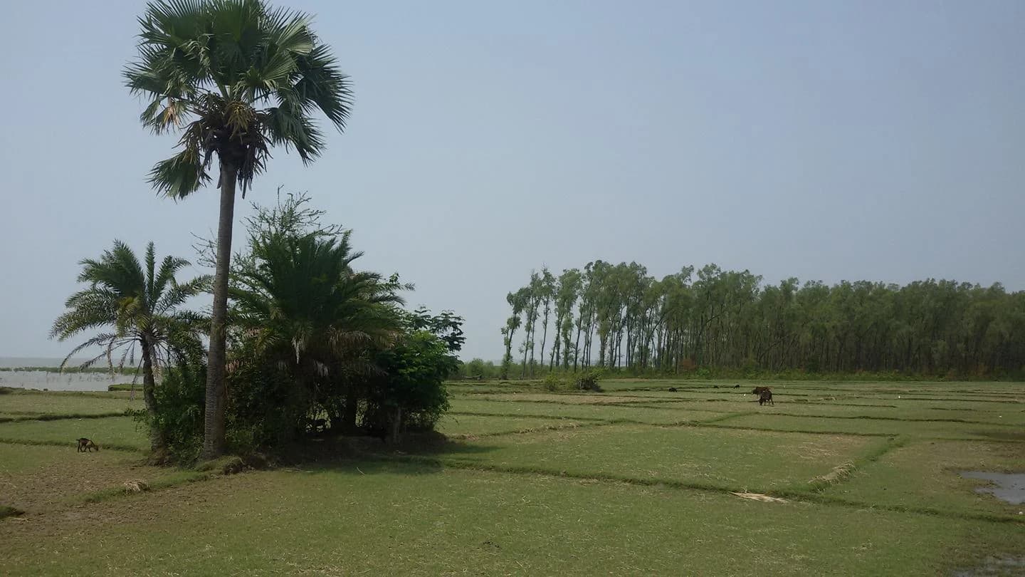 ForestBarguna · Barishal
Sonakata in Taltali has a coastal forest setting with shaded paths and nearby waterways. Plan a daylight nature visit; wildlife sightings are not guaranteed.