Prefer a dry, stable-weather period, subject to permission. Current access has not been independently confirmed; this guide is not an open-route announcement.
GHOORISM
আপনার ভ্রমণ আসছে… · Your journey is loading…

GHOORISM
আপনার ভ্রমণ আসছে… · Your journey is loading…

Best season in this guide: Prefer a dry, stable-weather period, subject to permission. Current access has not been independently confirmed; this guide is not an open-route announcement.
Loading forecast…
Model forecast, not a live observation or official safety alert. Daily ranges use the available forecast hours.
MET Norway · CC BY 4.0 · Summarised by GhoorismYOUR TRIP, MADE SIMPLE
Prefer a dry, stable-weather period, subject to permission. Current access has not been independently confirmed; this guide is not an open-route announcement.
Choose your departure location, group size and duration below to see a planning range.
Allow a multi-day itinerary with a buffer day; the guide should set the walking schedule for your group.
Match walking and rest stops to your group. Confirm toilets, seating and step-free access directly; mountain trekking requires a separate fitness and access assessment.
DESTINATION TRIP ESTIMATE
Planning range for ordinary bus travel, simple accommodation and meals. Not a live fare or a booking offer.
Return travel is included. Transport uses district and destination coordinates with a broad road-distance allowance; actual roads, ferries and fares can differ.
1 room(s), two sharing, for 1 night(s); local vehicle costs are shared in groups of up to four.
Private boat trips may cost more for a small group. Flights, luxury stays, shopping and peak-season surcharges are excluded. Allowances are planning assumptions rather than verified supplier prices.
MAKE IT YOUR OWN
Use these destination details to build your schedule. Your selected days set the budget; they do not imply a verified multi-day itinerary.
Guide last checked: 2026-10-09
0 / 6 ready · progress stays in this browser
GET TO KNOW THE PLACE
Explore the Bandarban district guide
Keokradong is a well-known mountain destination in Ruma, Bandarban. The journey is part of the experience, with hill paths and settlements; it should not be described as Bangladesh’s highest peak.
Prefer a dry, stable-weather period, subject to permission. Current access has not been independently confirmed; this guide is not an open-route announcement.
Carry sufficient drinking water and rain protection, leave no waste and ask before photographing residents. Never enter a restricted route; turn back if weather or official instructions change.
Allow a multi-day itinerary with a buffer day; the guide should set the walking schedule for your group.
Match walking and rest stops to your group. Confirm toilets, seating and step-free access directly; mountain trekking requires a separate fitness and access assessment.
Checked: 2026-10-09
Transport, opening times, permissions and conditions change. Confirm locally before travelling. Photography credits and licenses are linked above.
YOUR DESTINATION, IN ONE PLACE
Loading details…
Bandarban · Chattogram
Keokradong is a well-known mountain destination in Ruma, Bandarban. The journey is part of the experience, with hill paths and settlements; it should not be described as Bangladesh’s highest peak.
Get directions in Google MapsChoose your starting point in Google Maps.
 WaterBandarban · Chattogram
Boga Lake is a natural hill lake in Ruma, surrounded by a village landscape. Access arrangements have changed over time; plan the currently approved route and respect residents, water quality and local rules.
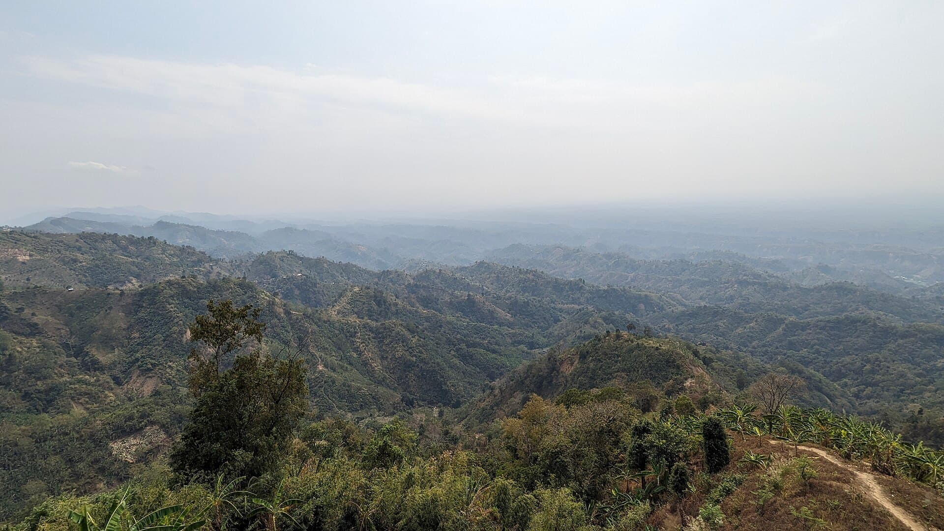 HillsBandarban · Chattogram
Layered hills and open skies. Choose a clear morning for the views and travel thoughtfully through this sensitive landscape.
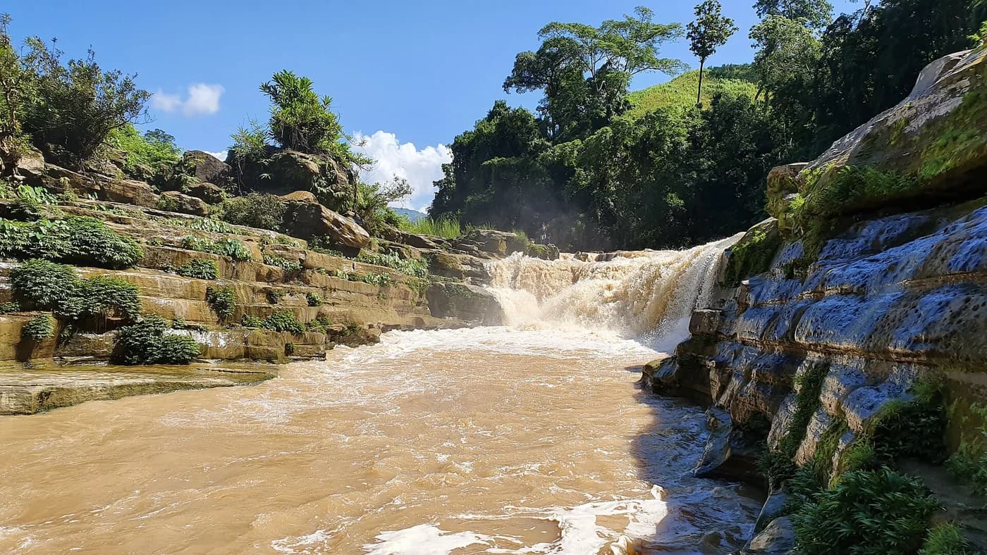 WaterBandarban · Chattogram
Nafakhum is a remote waterfall in the Remakri area of Thanchi. Access restrictions have been reported, including a report stating a ban remained in force. This guide is background information, not confirmation that a trip is permitted.